|
|
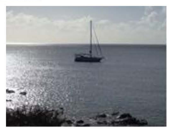
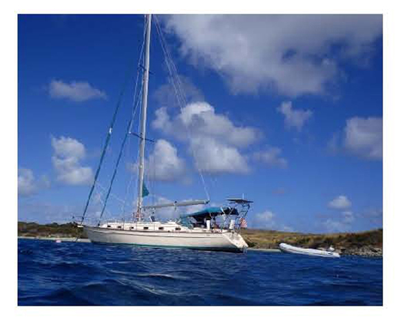
2016 Caribbean Cruises |
| Home
Purpose Course Descriptions School Yachts Schedule of Courses Ocean Training Cruises ASA Certification Registration Info Our Location Our People Contact Us |
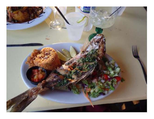
Pre-departure
Preparation: Friday, January 29, 2016,
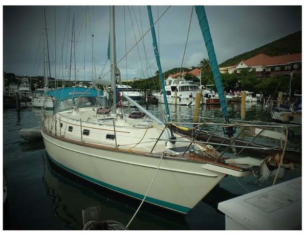
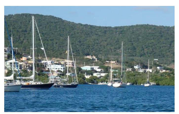
Day 1: I finished onboard preparations by noon, just ahead of the arrival of four of the crew who had arrived on island a day early. We go right to work reviewing our cruising plan based on forecast weather and finalizing the meal plan. As we are about to head to Moe’s, the local grocery store, Glen arrives completing the crew. The Captain, Harold and Randy head to the store while the others finish stowing gear and getting acquainted with the boat to include locating all Federal required safety equipment. Provisioning today allows us to cool down our perishables in the refrigerator while we were still on shore power. Once provisions and individual gear are stowed, we have an excellent dinner ashore at Fish Tails followed by a review of below deck operational systems before turning in after long productive day. A good start to the week.
Day 2: We depart the marina by 1330, and, once clear of traffic and well into Pillsbury Sound, we all have the opportunity to maneuver the boat under power and conduct MOB under power drills. Once our “tipsy dummy” is finally secured, we make our way under sail to an anchorage in Rendezvous Bay. We review the procedures for anchoring and are secure by 1630. It’s nice to have the anchorage all to ourselves to enjoy this beautiful spot as we prepare dinner. Over dinner we review the day’s events and try our hands at tying many of the sailor’s essential knots. Following cleanup, we enjoy a beautiful sunset, Cary lays out our course for tomorrow, and all spend time studying. The waning moon and star-filled sky provide a great backdrop to continue reviewing the day’s event and getting to know each other. It’s great to be on the water and away from the noise of Red Hook, especially knowing how cold it is at home.
Day 3: By late morning we have worked our way around the Two Brothers rocks and after a review of mooring procedures, pick up a National Park Service mooring at Caneel Bay. We discuss outboard motors and dingy operations as we head into Cruz Bay for lunch and a walkabout. Back on the boat, we head for the Windward Passage and Francis Bay. The winds have built and veered to a strong SE wind, gusting to 25 knots as we tack our way thru the narrow Windward Passage. Once thru, Cary carefully tracks our progress past the potentially dangerous Johnson Reef, helpfully ringed by a set of yellow buoys. The building winds and seas give us the opportunity to see the value of the stay sail and reefing the main to help control weather helm. We secure a mooring with little difficulty and after a short review Randy, Cary and Glynis all take and easily pass their ASA 101 test. Now it’s time for a swim, a rest while watching boats move about the mooring area, and preparing dinner. Over a light dinner, we review the day’s events and help Glen lay out our course up toward Jost Van Dyke, around Soper’s Hole, into the Sir Francis Drake Channel, around the east end of St John to a mooring area on the south side of the Island. The moon, starry skies and dropping wind make for a quiet night and well-earned rest.
Day 4: We round East End
and head toward Ram Head. The
wind is now off our port quarter so we set up a preventer to stabilize the boom
and prevent an accidental jib. All
quickly see its benefit in the rolly seas.
Glen has been monitoring our progress by taking several two-bearing
fixes. After reviewing the chart
the night before he had identified Eagle Shoal as a danger area.
He determined a danger bearing to help keep us clear of the shoal and we
now take a series of bearings to monitor our progress.
Randy, who has been tracking our progress on his iPad using iNav, alerts
us that we are getting too close to the shoal, the danger bearing say we are
safe and there has been no change in water color indicating a change in depth
– who is right. Just at the point
Randy says we should be in 4 ft of water the depth gage reads 54 ft.
Electronic navigation tools can be very helpful but should always be
considered aids to navigation. Knowing
how to navigate with and without electronic charts and keeping a good visual
watch are essential coastal navigation skills. We round Ram Head
and start looking for a mooring ball in Salt Ponds Bay.
Randy and Cary, who have been there before on a dive trip, indict this is
a good snorkeling spot. We spy two
empty mooring balls and after a careful approach, are safe and secure.
It does not take long before all are in the water.
After a refreshing swim, shower and quiet dinner in our beautiful
anchorage, we discuss the day’s events and prepare for our 30 mile trip to Culerbra.
Glynis, navigator for tomorrow, gets a chance to put to use all she has
learned about navigation by watching and helping others.
After some careful planning, she announces we will need to make an early
departure. So after some star
watching and study, it’s off to bed. The crew agrees this has been a good,
challenging day with tomorrow promising to be its equal.
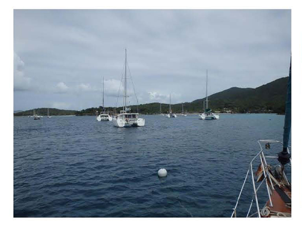
Day 5: Once on our new course Glynis, with the help of several of crew, tracks our progress by taking a series of two-bearing fixes. We build confidence in our ability to fix our position using a hand bearing compass by comparing the solution to an electronic fix from a handheld GPS. After passing Savanna Island, we come up to a beam reach and enjoy a beautiful sail to the entrance buoys to Ensenada Honda. We carefully work our way into this very protected anchorage with the help of Randy’s iPad, a set binoculars and many eyeballs. After dropping anchor and clearing in with Home Land Security via phone, we head into the small town to a hostel where we are able to take very welcomed fresh water showers without having to monitor water use. Harold and the Captain make a quick trip back to the boat with some items we picked up at the grocery store while the others do a little exploring. We all meet at the Dingy Dock Restaurant for some cool refreshment and enjoy the beautiful setting. We head to a local restaurant for an early dinner, enjoying the time to discuss the day’s events. Back to the boat for a little study time (tomorrow is the ASA 103 test) and laying out our course for tomorrow. The breeze is light, the sky filled with stars, the anchorage is quiet ….. except for the sounds of rosters calling to each other.
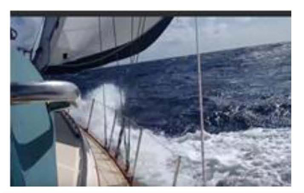
Day 6: In building winds, we tack our
way around Luis Pena Island and head back into Canal de Luis
Pena where we work our way back around the western edge of Culebra,
thru the reefs outside Ensenada Honda, into the Canal Del
Sur and finally into the surreal anchorage at Bahia de Amodovar.
Careful navigation by Harold and piloting by Glynis get us safely into
this beautiful spot, protected by a reef and mangroves yet open to the still
strong northerly winds. We have
clear view of St Thomas 17 nm ahead to the east. Anxious to get
the work out of the way, the crew decides to take their ASA 103 tests before a
swim, deck shower and dinner; a good choice on this busy day. All do well on
their test, motivated by the opportunity to take a shower and eat grilled
hamburgers and bean salad. Glen, our “grill master” demonstrates his craft,
providing an excellent meal. We
finish the evening reviewing the day’s events and planning our return trip to St
Thomas. Another beautiful
evening.
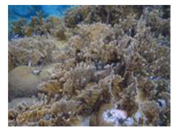
Day 7: Buck Island is a popular destination for local charter boats but cruisers can use the moorings late in the afternoon and evening. Once secure, its time to explore; first in the water – a wreck sets 30 feet below our mooring ball and lots marine life to explore; then it’s into the dingy for a trip ashore and some exploring. After several charter boats depart, we have this beautiful spot to ourselves. Over a dinner of grilled pork chops and a beautiful sunset we take time to review the course with individual assessments of how well their course objectives were achieved. All agree that their expectations have indeed been met; the sail back from Culebra has been the highlight of the trip. Another quiet night under a star filled sky makes the end of this perfect day.
Day 8: After docking and refueling we are guided back to our slip at Island Yachts. By 1330, we are secured in our slip, empty our trash and those taking the ASA 104 test head up to a cool place in the shade of the veranda for the test. The test includes, as no surprise, course plotting with which all are now very familiar. All do extremely well on the test. The Captain, Cary and Glynis start the boat cleanup process by conducting a thorough cleaning of the outside of the boat. Then it’s showers and a final celebratory dinner ashore. A great way to end the week. It’s Friday night, and the Red Hook marina bars are hopping with a bands and a lively crowd, but it doesn’t deter a good night’s sleep.
Day 9 Captain Steve Runals
|


Web site design by F. Hayden Designs, Inc.