Purpose
Schedule of Courses
Course Descriptions
Course Prerequisites
School Yachts
ASA Certification
Registration Info
Our Location
Our People
Contact Us
School Store
Cruise Reports
Photo Album
Send Email to office@mdschool.com
You Tube
ocean training cruises completed
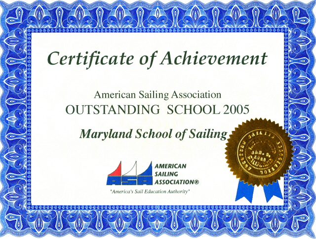
~ A Cut Above ~
Florida State University
Weather Homepage
Weather charts for broadcast by the U.S. Coast Guard
Return to Home