|
|
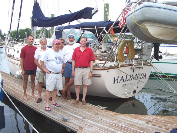
2004 USVI-Norfolk Report |
|
|
2004 USVI-Norfolk Report |
| Home
Purpose Course Descriptions School Yachts Schedule of Courses Ocean Training Cruises ASA Certification Registration Info Our Location Our People Contact Us |
USVI to Norfolk
If
we had to describe Halimeda's northbound passage in three words, they would be
"quick," "comfortable" and "dry". Two
days of pre-voyage preparation in port disclosed only one surprise: badly
damaged luff tape on the staysail, apparently due to sharp edges inside the luff
foil where the segments join. The sail maker was able to replace the
tape quickly, so our departure was not delayed. We stowed gear,
inventoried equipment, rigged storm sails, trained on sea anchor deployment,
reviewed emergency plans, developed a menu plan and provisioned the boat.
We
slipped out of Crown Bay Marina at 0555 on May 7 in defiance of the
mariner's superstition that it is bad luck to start a voyage on a Friday.
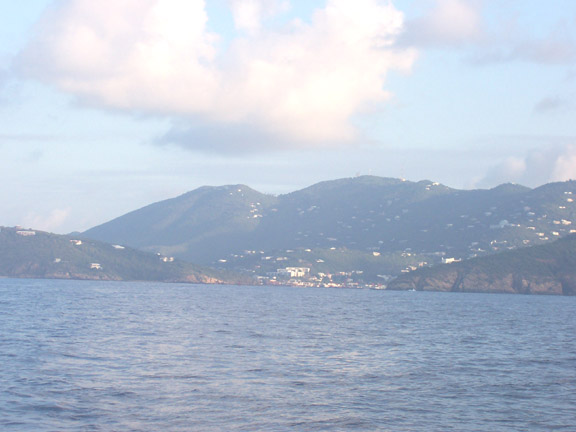
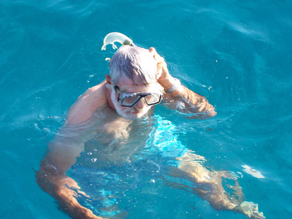
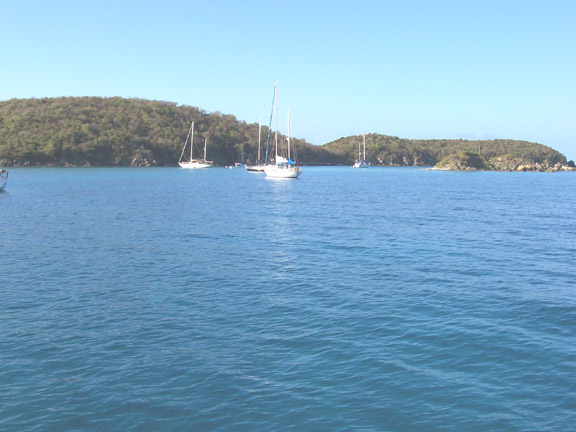
Sailing east along the south coast of St. Thomas to allow one of our crew to
complete his Advanced Coastal Cruising qualifications, we anchored briefly at
Christmas Cove on Great St. James Island (to satisfy another ACC requirement and
to inspect the underwater hull in water somewhat cleaner than the marina).
After scrubbing a few barnacles and a layer of soft growth off the prop, we were
on our way north before the occupants of most of the other boats in the Cove
were up and about.
We
motored north northwest in very light airs until the wind filled in at about
2100. Then we set sail and began some wonderful cruising. The
wind was just forward of the starboard beam at 15-18 knots and Halimeda began
romping along at a steady 6 to 7 knots. The seas were boisterous
enough to cause "Ocean Motion" problems for several of the crew and
eating was not a popular pastime.
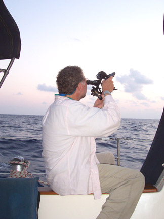
By Saturday afternoon, the seas were gradually smoothing out but the wind stayed fairly steady. Boat speed exceeded 9 knots on a number of occasions. Skies were clear and stars were brilliant, and Venus was in one of its brightest phases at evening twilight, so there was plenty of activity in the celestial navigation department virtually every evening on the trip.
The
fast and comfortable sailing continued through Tuesday night and into Wednesday
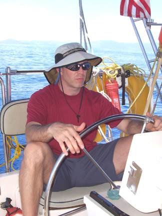
morning. The crew was fully recuperated and we held daily training sessions in
addition to standing our watches, which were organized differently than usual..
We stood 3-hour watches at night (2100-0600) and 5-hour watches by day, when
there were usually other crew members on deck to give occasional relief if
needed. With the wind drawing aft and getting lighter, we set the
spinnaker before lunch on Wednesday and carried it until sunset.
By Wednesday
evening we were clearly running out of our favorable wind pattern and getting
into the high pressure ridge the forecasters had said would lay across our
track. It was time to turn on the engine. We motored through still
air across calm seas all day Thursday. It was still calm and winds
were light on Friday morning, but there was enough breeze to set the spinnaker
again. In the puffs it pulled the boat along at better than 5 knots, while
in the intervening lulls our
speed sometimes fell below 2 knots. On the average, we were doing quite
nicely, frequently enjoying a favorable current.
On
Friday night we encountered what in retrospect must have been a large unreported
Gulf Stream eddy. The seas were choppier than they should have been
with the existing winds and we were getting pushed southwestward at a knot or
more in water whose temperature had jumped several degrees. After a few
hours the seas settled down and early Saturday morning we experienced another
region of choppy seas, this time with a current pushing us to the northeast.
Saturday,
May 15 proved to be a memorable day. The wind filled in from the
southwest, enabling us to resume our rapid sailing, broad reaching again.
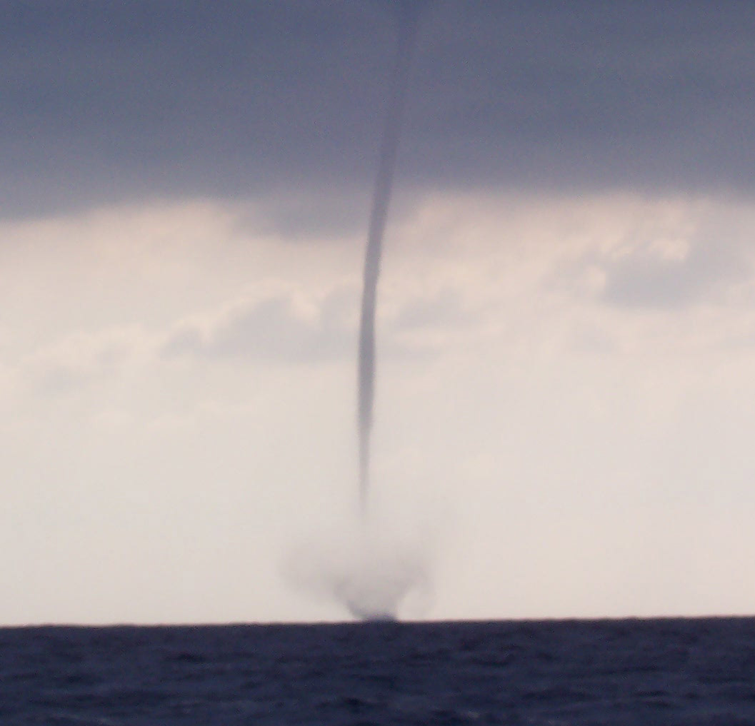
At 0800 one of the crew spotted a large waterspout (the marine version of a
tornado) a few miles south of us. It proved to be one of the
largest and most enduring waterspouts I have ever seen, lasting for nearly an
hour. At one point it closed to within 3/4 miles of us and we could clearly
see the water being violently ripped from the sea surface and flung
several hundred feet in the air around the base of the long tube of rapidly
spinning air and water -- we motorsailed at cruising power to keep our distance!
The tubular structure of the spout, reaching up to a distinctive funnel-shaped
protrusion from the bottom of the dark cloud overhead, was very evident.
The spout seemed on the verge of collapse several times, but each time it
regained its form and strength until it finally moved off to the east and
dissipated. Not too long afterward we were visited by a pod of playful
dolphin who spent 15 minutes frolicking around and under our bow as we sailed
along at 6-plus knots. By mid-day we were firmly in the Gulf Stream, with
water temperatures rising above 80 degrees, the water a distinctive deep blue
color and a current that pushed us on our way. The combination of wind and
current produced speeds over the bottom that once reached 10 knots. Late
Saturday afternoon we passed out of the Gulf Stream and into the cooler,
greenish water over the continental shelf. The southwest wind continued to
push us along our track, and just before midnight we sighted the first evidence we
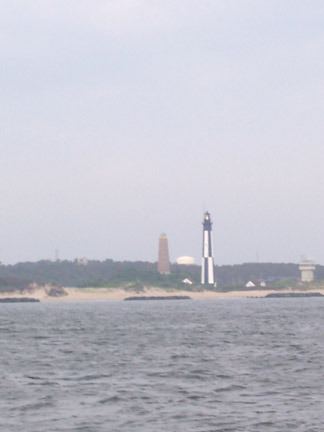
were approaching the coast: flashes from the Currituck Beach lighthouse.
By daybreak Sunday, the buildings of Virginia Beach were visible and we
sailed into Chesapeake Bay at about 0815. The southwest wind persisted and
we were able to sail all the way to the Chesapeake Bay Bridge-Tunnel. From
there we motored to our destination at Taylor's Landing Marine Center in Little
Creek, where we moored at 1045.
It
was a remarkable voyage. The rhumb line distance from Christmas Cove to
the mouth of Chesapeake Bay is 1280 miles. Our trip, which included our
travel along the south coast of St. Thomas, several hours of maneuvering for
activities such as compass calibration and man overboard drills, plus the
distance from the mouth of the Bay to Taylor's Landing, totaled only 1311 miles
on the ship's log. With 9 days, 5 hours of elapsed time, we averaged just
a shade under 6 knots, an outstanding performance for Halimeda. Aside from a
very brief light sprinkling shortly after the waterspout incident, we had no
rain during the trip.
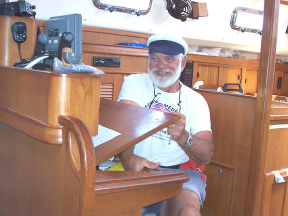
The only down side to all this is that the student crew didn't get any exposure to the more demanding wind and sea conditions that are typically encountered at some point on a passage of this length. While it was a wonderful experience, it was hardly a normal ocean passage. Captain Hal Sutphen
|